the shallow root situation
which railway lines are at risk from storms?
1
>10.000 km
>2 days
~101.000
in Hamburg
On 5 October 2017, storm Xavier hit Northern Germany in the early afternoon and led to a rare breakdown of local and long-distance railway traffic in the region. In many places, fallen trees were the reason why the tracks could only be cleared after days. We have approached this problem with the help of a series of geodata, video and machine learning analyses at the ITS-Hackathon 2017.
the rail network
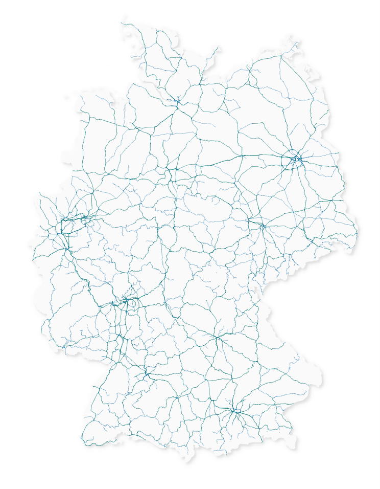
With over 33,000 km, Deutsche Bahn has the longest railway network in Europe. Up to 41,000 employees are responsible for restoring regular driving operations, particularly during storms and weather-related breakdowns.
Since around 4.5 million commuters rely on the smooth operation of the railway infrastructure every day, it is of crucial importance for the economy. In addition to DB Netz AG and the railway undertakings, a large number of companies are therefore directly affected by damage to the railway infrastructure.
the forest
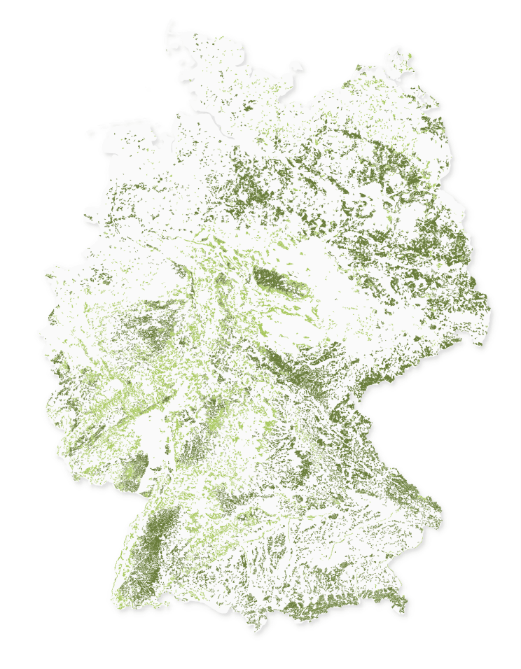
Although repeatedly sections of the track have to be closed by fallen trees, there are good reasons to leave trees near tracks. The forest not only offers protection to the fauna and flora, but also trains.
Side winds pose a particular danger for high-speed trains. Since the contact surface is very large in relation to the track width, it is important to avoid tipping over in order to prevent any case. In addition to speed limits and technical solutions, trees and forests can therefore partly support crosswind stability.
which routes are at risk?
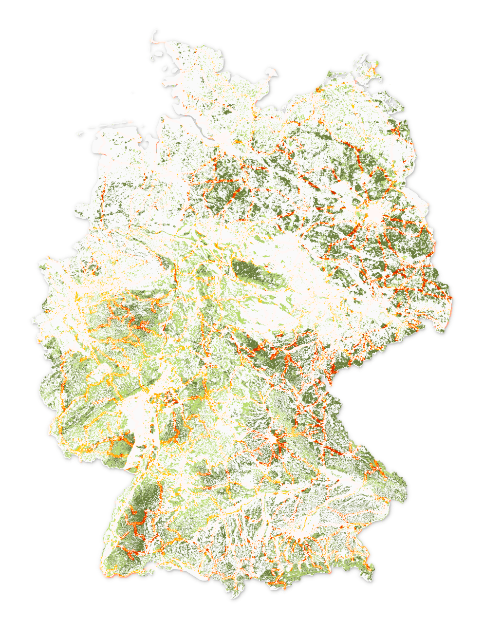
Our analysis has shown that routes in the north and east of Germany are particularly at risk.
The red coloured sections of the route lead through coniferous forests, which are more vulnerable to storms because of their shallow roots.
The Hamburg-Berlin and Hamburg-Hannover high-speed rail lines, for example, are clearly visible and have been severely affected by storm Xavier. Not included in the evaluation is the susceptibility of a route to hurricanes per se.
was Xavier special?
Xavier struck at the beginning of October 2017 and was thus unusually early for a hurricane. In the long-term average, storms tend to occur in the form of the winter storm. Early storms have a higher effect because they hit leafy trees, which then fall down faster.
what makes a tree dangerous for the railway?
distance to the track & overhead line
Trees can pose a hazard to rail transport if they are higher than their distance from the track.
root depth
A distinction is made between pile, heart and shallow roots in trees, whereby the greatest risk in a storm comes from the shallow roots.
soil condition
Loose sandy soils generally provide trees with less support than heavy clay soils.
wind speed & -direction
Ultimately, of course, the wind force determines whether a tree is a hazard for the track.
Not every tree and forest represents the same threat to the road network. Depending on the wind force and direction, it is above all the interaction between distance from the track, root depth and soil conditions that determine the risk of a tree. Trees with pile and cardiac root systems are often characterized by a very dense and deep root system. For example, if you stand on firm clay soil, they can withstand storms longer than trees with flat roots on sandy soil.
structure from motion
identifying hot-spots through video analysis
video analytics
Today, many transport companies use vehicle-based camera systems to record their routes and to identify potential problems on the track: be they hazards caused by vegetation or defective infrastructure.
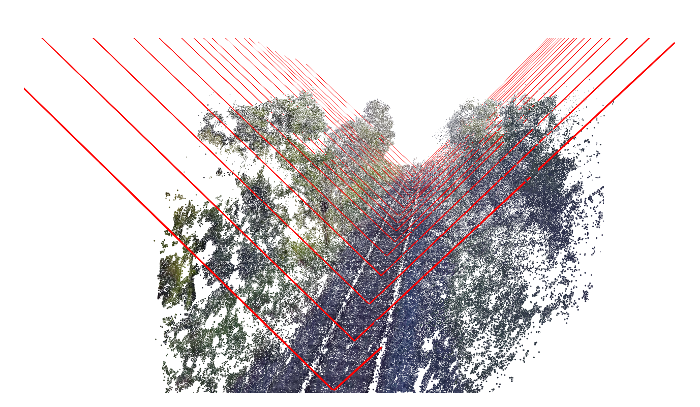
By combining 3D reconstruction methods from two-dimensional videos with machine learning approaches and object classification, these videos can be converted into detailed point clouds. The results are below the accuracy of Lidar, but can be inexpensively produced without additional hardware.
3d reconstruction from 2d video
Tests carried out by civity using real imagery taken from long-distance trains show promising and usable results (see video). Within the point clouds, clearance profiles can be imported and reviewed to ensure the safety of the track. The system is in prototype status and can be tested on video material from our customers. The quality of structure recognition is dependent on train speed, image resolution and lighting conditions.
final result including clearance profiles
storms at the Alster
use-case Hamburg, Germany
A data analysis to assess the threat to Hamburg's rail traffic
For our analysis, we looked at all the trees in a 20m distance to a railway line in sandy ground. Similarly, we have only taken into account trees that are on public areas and to which authorities have easy access.
The map shows a section of the Hamburg area's route network. Based on the classification, we have identified several problem areas. Tunnel sections are not yet taken into account, so that the City Tunnel, for example, is erroneously listed as a hotspot.


